Programme brief: Baseline study marks start of digital journey
The Belgian Development Agency, BTC, and its partners turned
the baseline study of the Maisha Bora programme in Tanzania into an inspiring
learning process for all actors involved. Five international and ten local
partners successfully worked together to carry out a common household survey.
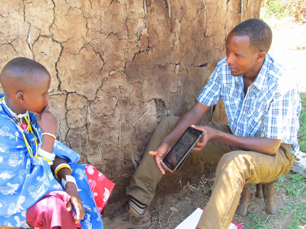
Coached by data experts and equipped with tablets and GPS-devices, local
programme partners took charge of the data collection. In this way the baseline
study became a leverage for digitizing development cooperation, building
capacity and promoting programme ownership.
The baseline study of the Maisha Bora programme was conducted in
December 2015 and comprised an extensive household survey. By understanding the
starting point of the programme, the different partners will be able to monitor
and evaluate how Maisha Bora contributes to improving food security during the
coming years.
To conduct the baseline study,
BTC teamed up with a service provider, Savannas Forever Tanzania (SFTZ), to
design a digital household survey
incorporating impact indicators for all different programme components. The
survey consisted of a questionnaire and anthropometric measurements to gather
both quantitative and qualitative information on the food security and
nutrition status of the beneficiaries at the start of the programme. The
questionnaires were entered into a software programme and enumerators were sent
out to the field with GPS devices and pre-programmed tablets. For Jovit Felix, programmer of SFTZ,
digitising the questionnaires was an obvious choice:
“Digital questionnaires make data collection much more efficient
and enumerators can minimise the time they spend on each interview. We are much
more in control of data quality during data collection and we avoid encoding
errors.”
Coached by data experts and equipped with pre-programmed tablets
and GPS devices, local programme
partners took charge of the data collection. After a four-day training on
interviewing skills, anthropometric measurement techniques and how to work with
the tablets and the survey software, the local partners traveled to the
villages to carry out the household surveys.
All these efforts lead to a more efficient data collection. All
questions were linked together in such a way that irrelevant questions were
skipped automatically. After the interview, the enumerators could directly upload
all the completed surveys to a server, so the data experts of SFTZ could start
with data cleaning and analysis. By linking the household surveys to GPS coordinates,
a data layer was added to easily map out geographical differences.
This way, digital data allow for more precise
analyses on different parameters, both time-bound and geographical. This should
lead to better decisions during
programme implementation and, ultimately, to better results.
Read the full article on our baseline on: goo.gl/DXWzRm
Latest news from this project
No news

