Mozambique: How to get to the gist of Geographical Information Systems for energy sector information management?
News by: Evert Waeterloos
A wider use of Geographical Information Systems
(GIS) is an appealing prospect for an improved information base and
coordination between the different players in Mozambique’s energy sector. Enabel
and the partner Ministry of Mineral Resources and Energy (MIREME) launched a
study in 2020 to provide a road map for the introduction of GIS and spatial
data usage in the sector (https://www.enabel.be/publication/analise-do-sig-na-gestao-sustentavel-dos-recursos-energeticos-e-minerais-em-mocambique).
This study found that a considerable range of energy and spatial data exist in MIREME.
However, most of them are stored in hardcopy paper format. Where information is
stored digitally, data are mostly kept on personal computers, which entails a
huge risk of loss and under-utilisation. There is indeed little sharing and
usage (metadata) beyond the individual data storage level. This is problematic, as the flow of
information within MIREME as well as with other (inter)national organizations
is a prerequisite for planning and monitoring of the energy sector. The
availability of IT equipment such as computers, laptops, plotters and servers vary
within each unit; however, most equipment is either obsolete or in a poor
state. To introduce GIS for more effective
data management and analysis, the study identified seven inter-linked
dimensions, which will require attention in the short- to medium-term:
- A detailed, comprehensive needs and requirements assessment;
- Acquisition and management of spatial data and databases;
- Acquisition and management of technological resources;
- Human resources capacity development and management;
- Development and management of the institutional environment;
- Development of applications, products and services for the end user (public and other institutions);
- Monitoring the implementation of GIS.
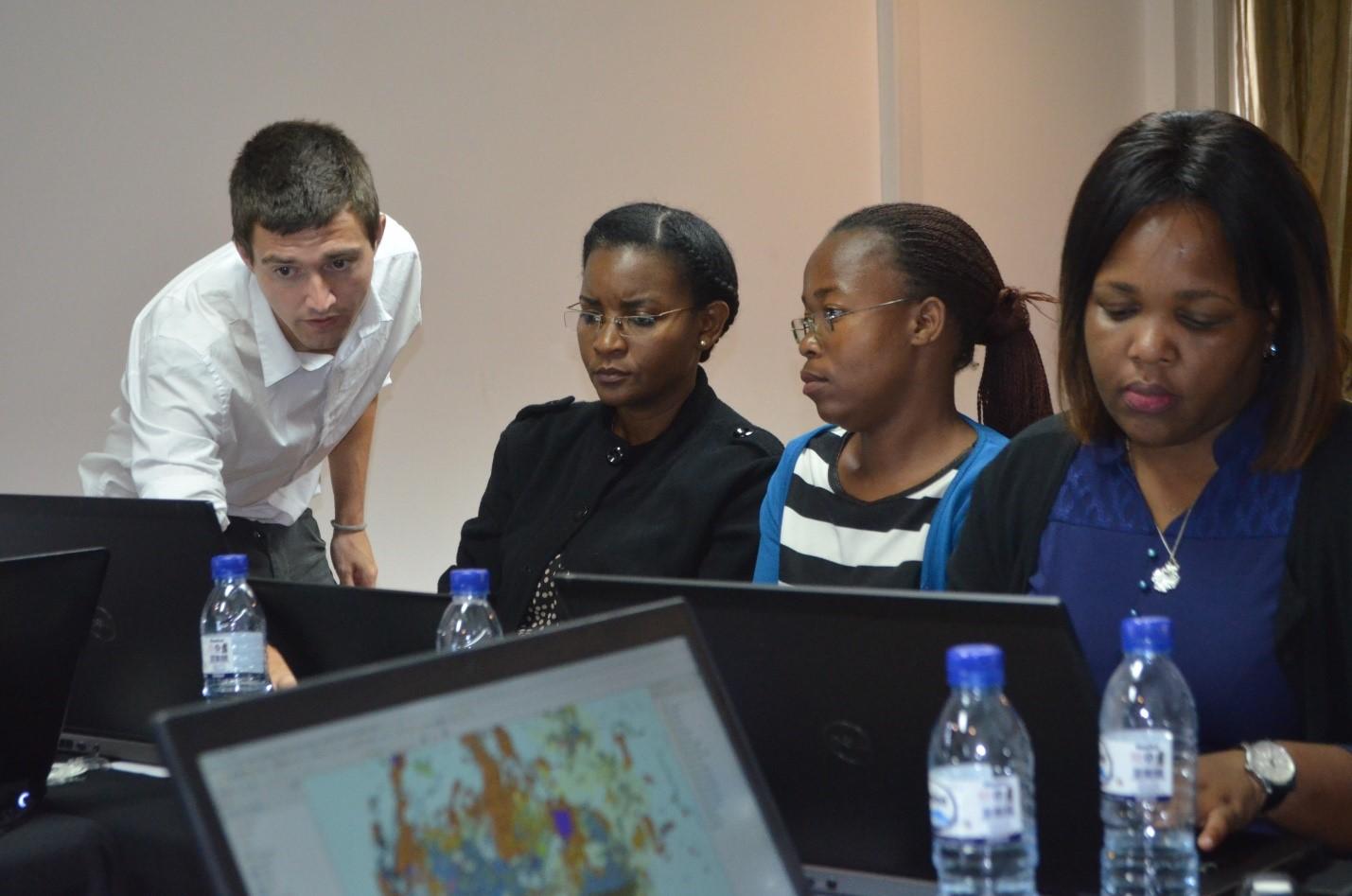
Through a hands-on training – which due to Covid-19 restrictions had to take place online, a tailor-made introduction was administered by the Junior and his young MIREME counterpart Tina Matandire from 17 to 23 February 2021.
The training covered basic GIS theory and focused on how to use different available GIS tools. The GIS software that was referred to can be accessed at no cost (open-source software). The training also showed different resources that can be accessed for learning and development purposes. Despite the challenges of delivering the training online, such as connectivity issues, the participants were motivated and participated fully during the entire training session. The project’s support to ICT equipment (laptops and internet infrastructure) across all provinces during 2020 and early 2021, has contributed to the success of the training. Following the training session, an internal manual was produced which summarizes all the different resources and key takeaways from the training session, and which is available to MIREME staff (https://www.enabel.be/publication/sistema-de-informacao-geoespacial-gis). It is indeed the intention to replicate and/or design follow up GIS trainings to staff members in other provinces, this time administered by MIREME staff such as Tina.
This should contribute to an informed discussion on the implementation plan for the introduction of GIS within MIREME and on the collaboration with other relevant stakeholders.
Latest news from this project
No news

