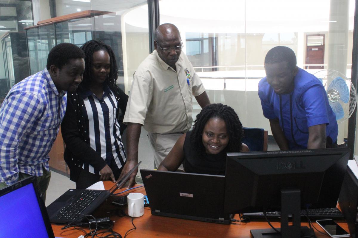
Forest Sector Support Department boosted by GIS training
Ministry of Water and Environment (MoWE) Forest
Sector Support Department (FSSD) department has a mandate to monitor all tree
growing in the country. Tasked with this mandate, there was a big gap in the ability
to have a representation of the tree growing coverage in the country.
A needs assessment exercise was
thus conducted at the department, and a course in Geographical Information
Systems (GIS) was recommended for the department, to improve forest cover
reporting for the department.
This course instructs on how to
capture, store, manipulate, analyze, manage, and present spatial or geographic
data. It has been a saviour for the department. Most staff did not know what GIS is and how
it can be used to improve reporting. Now they all understand the GIS component
and appreciate how it eases their work in reporting forest coverage
developments in Uganda.
“Most of the time when we went to the field, we
just came back with word reports without any physical evidence to back it up,”
Irene Nanyondo, a forestry officer with the Ministry of water and environment
mentions. “After this training, we now endeavor to carry GPS equipment and
report using maps,” she adds.
This implies that the department is now closer
to where they envision it. A one stop center for all forestry coverage needs.
The department has also now set up a GIS unit
that is fully functional although faced with a few challenges such as lack of
up to date equipment.
Charles Byaruhanga, the principal Forestry
officer intimates,” there is a big change in our work after this training. Now
we can use this knowledge to collect data and report on the data.”
Joseph Agaba, the FSSD department Economist and
also training beneficiary, is very appreciative of the training they received.
He feels the training was very essential for them by nature of the work they do
in forestry cover reporting.
“We were unable to produce maps to report on
our work. But now we can easily produce maps, based on GPS points which has
greatly improved our reports quality,” Joseph mentions.
Recently after the Bududa landslide saga, the
department was requested to provide aerial imagery of the area which they were
able to provide. The local government after noting the very vivid reports
provided by the department, requested the department to source for a trainer to
also train them in geographical information systems.
‘’We are really very great full to the SDHR
project that ensured we got this training.’’ And for all the trainings they
have offered us, we appreciate. Adds Charles. ‘The trainer that trained us in
GIS was very knowledgeable and we commend Enabel for sourcing the best trainers
to train us,’’ Joseph concludes.
Dernières actualité de ce projet
Pas d'actualité

